
hard to find oversized 1908 hard bound chicago sanborn insurance atlas map volume 18
Special Price
$2,000.00
Regular Price
$2,500.00
In stock
SKU
UR-34962-24
Fire insurance maps, originally developed to help insurance agents determine rates, are an important record of the built environment in the 19th and 20th centuries and are often used by historians, architects, preservationists, genealogists, environmentalists and others to determine information about the buildings (including commercial, industrial and residential structures) that existed on a given plot of land at a given time.
Related Products
Check items to add to the cart or


Special Price
$52.00
Regular Price
$65.00

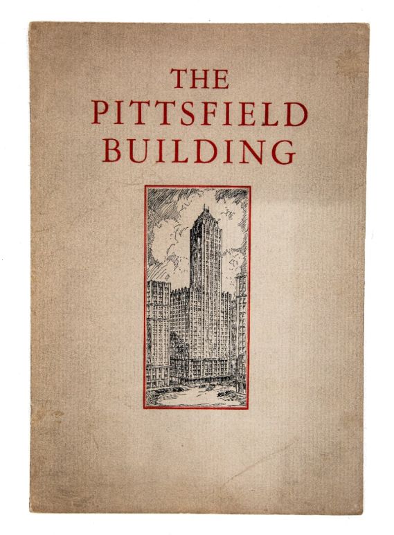
original hard to find rental booklet for graham, anderson, probst & white's 1927 pittsfield building
Special Price
$200.00
Regular Price
$250.00
Some Of Our Clientele


WORDLWIDE SHIPPING
If required, please contact an Urban Remains sales associate.
NEW PRODUCTS DAILY
Check back daily as we are constantly adding new products.
PREMIUM SUPPORT
We're here to help answer any question. Contact us anytime!
SALES & PROMOTIONS
Join our newsletter to get the latest information
